CHELSA-drought-indicies is a dataset that consists of standardized precipitation (SPI) and the standardized precipitation evapotranspiration index (SPEI) index.
Start Time
1980-06-15
End Time
2018-07-15
Status
finished
Version
2.1
Name
Unit
Description
Multiyear Meteorological Drought (mymd)
id
Identifier for multiyear meteorological drought event
Multiyear Meteorological Drought (mymd10)
id
Identifier for multiyear meteorological drought event at 10km resolution
Kernel Normalized Difference Vegetation Index Anomaly (qkndvi)
1
Annual anomaly in vegetation greenness derived from the kernel normalized difference vegetation index (kNDVI) which adjusts NDVI for nonlinear sensitivity to vegetation density and reduces saturation effects; calculated relative to the 1982–2018 mean using satellite-sensed NDVI excluding croplands and frequently snow-covered areas to quantify ecosystem responses during multiyear droughts
Standardized Precipitation Evapotranspiration Index (spei12)
1
Standardized index of climatic water balance (precipitation minus potential evapotranspiration) over a given integration period here 12 months expressed in standard deviations from the long term mean, used to characterize drought severity and duration
Standardized Precipitation Index (spi12)
1
Standardized index of precipitation anomalies over a given integration period here 12 months expressed in standard deviations from the long term mean, used to characterize drought severity and duration without accounting for evapotranspiration
CHELSA-daily is a global, kilometer-scale climate dataset generated with the CHELSA downscaling model. It consists of daily surface variables summarized as daily means, minima, maxima, or, in some cases, daily accumulations.
CHELSA-monthly is a global, kilometer-scale climate dataset generated with the CHELSA downscaling model. It consists of monthly aggregated surface variables summarized as monthly means or, in some cases, monthly accumulations.
CHELSA-climatologies is a global, kilometer-scale climate dataset generated with the CHELSA downscaling model. It consists of long term climatological means.
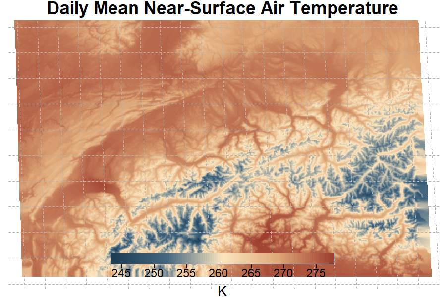
CHELSAch-highres-climatologies is a high resolution climate dataset generated with the CHELSA downscaling model for Switzerland. It consists of daily surface variables.
CHELSAch-highres-climatologies is a high resolution climate dataset generated with the CHELSA downscaling model for Switzerland. It consists of long term 30 year mean aggregated surface variables.
Start Time
1981-01-01
End Time
2010-12-31
Status
active
Version
1.0
Key Figures
License
Creative Commons Attribution (CC-BY 4.0)
File Format
COG
Publication Date
7.2024
Model Citation
Chen, L., Brun, P., Buri, P., Fatichi, S., Gessler, A., McCarthy, M.J., Pelicciotti, F., Stocker, B., Karger, D.N. (2024). Global increase in the occurrence and impact of multiyear droughts", "Chen, L., Brun, P., Buri, P., Fatichi, S., Gessler, A., McCarthy, M.J., Pelicciotti, F., Stocker, B., Karger, D.N. (2025) Global increase in the occurrence and impact of megadroughts. Science. https://doi.org/10.1126/science.ado4245
Data Citation
Chen, L., Brun, P., Buri, P., Fatichi, S., Gessler, A., McCarthy, M.J., Pelicciotti, F., Stocker, B., Karger, D.N. (2024) High resolution global standardized drought indices. EnviDat. https://doi.org/10.16904/envidat.530", "Chen, L., Brun, P., Buri, P., Fatichi, S., Gessler, A., McCarthy, M.J., Pelicciotti, F., Stocker, B., Karger, D.N. (2024) High resolution global standardized drought indices. EnviDat. https://doi.org/10.16904/envidat.530